

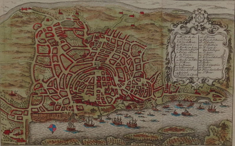

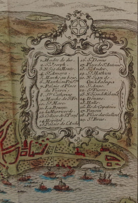


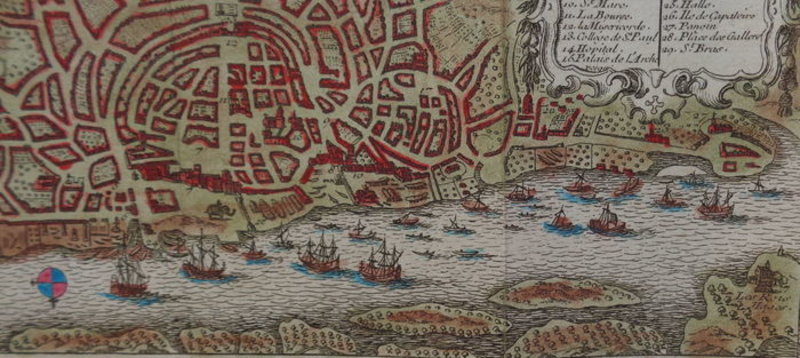


Plan de Goa Hand-coloured copper engraving of the Indian State of Goa.
1754. Hand-coloured map, of the Indian state Goa, by Jacques-Nicolas Bellin. Appeared in "Le Petit Atlas Maritime" by Jacques-Nicolas Bellin, 1754. Condition: good. Sufficient margins. Four vertical folds as published. Firm paper. Bright colours. A title cartouche with description on top right. Verso: blank. Dimensions: 11 x 17.8 cm (16.8 x 21.4 cm entire sheet) Carte coloriée à la main, de l'état indien de Goa, par Jacques-Nicolas Bellin. Paru dans "Le Petit Atlas Maritime" de Jacques-Nicolas Bellin, 1754. Etat : bon. Des marges suffisantes. Quatre plis verticaux tel que publié. Papier ferme. Couleurs vives. Un cartouche de titre avec description en haut à droite. Verso: vierge. Dimensions : 110 x 178 mm (1,8 x 214 mm feuille entière).
Book ID: 1800
Print this page
Price:
£85.00