


Pompeii - engraved town map
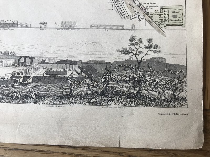
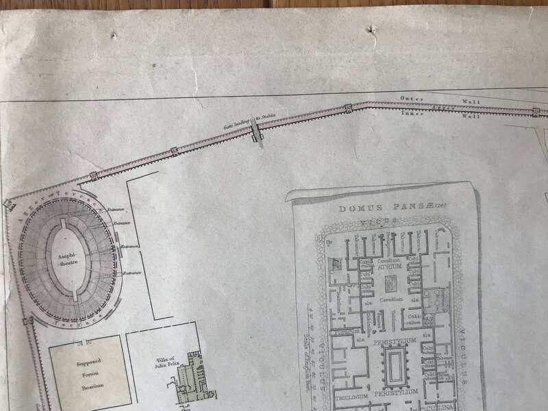
London: Baldwin & Cradock, 1832. Original engraved map of the extinct city of Pompeii. Below, a panoramic view of the archaeological site and the facades of fourteen important buildings. Partially coloured, as issued. Published under the Superintendence of the Society for the Diffusion of Useful Knowledge. Drawn by W.B. Clarke, arch. In a good condition, with just a few very small closed tears to the page edge. Light creases, and small pin holes to outside edges only. Not affecting the map. Blank verso. 305 x 395 mm (12 x 15½ inches) plus borders
. Carte originale gravée de la ville disparue de Pompéi. En bas, une vue panoramique du site archéologique et des façades de quatorze bâtiments importants. Partiellement coloré, tel qu'il a été publié. Publié sous la direction de la Société pour la diffusion des connaissances utiles. Dessiné par W.B. Clarke, arch. En bon état, avec quelques très petites déchirures fermées sur le bord des pages. Légers plis et petits trous d'épingle sur les bords extérieurs uniquement. N'affectant pas la carte. Verso vierge. 305 x 395 mm (12 x 15½ pouces) plus les bordures.