


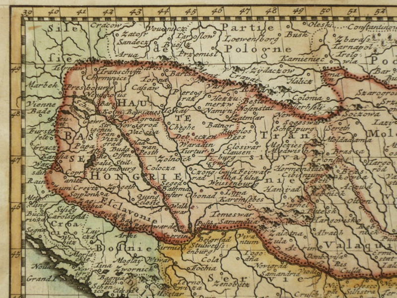


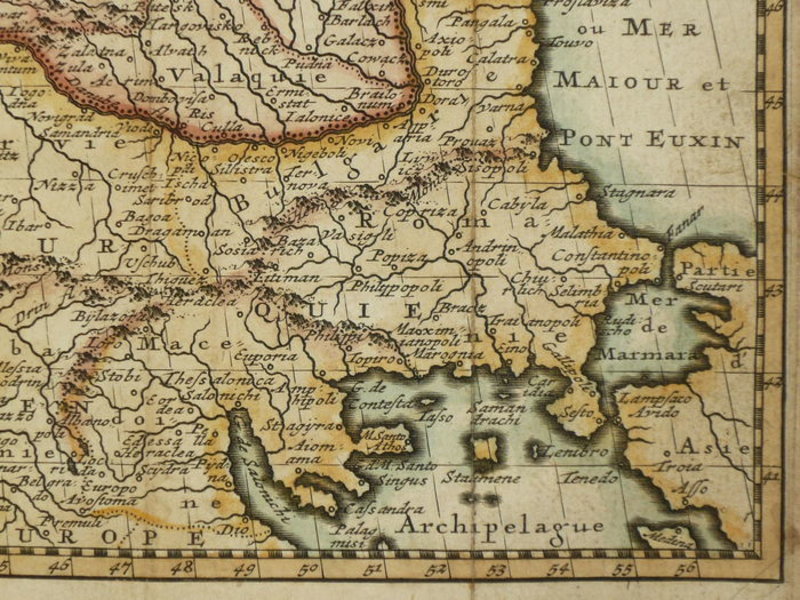

Carte de la Hongrie
Paris: 1786. Hand coloured map of Hungary, published in Geographie Universelle. A touch darkened, with light staining to the verso. Folds where issued. A decent copy. 130 x 170 mm (5 x 6¾ inches). Carte coloriée à la main de la Hongrie, publiée dans Géographie Universelle. Une touche assombrie, avec légères taches au verso. Plis où émis. Une copie correcte. 130 x 170 mm.
Book ID: 1853
Print this page
Price:
£55.00