
- Category = European Travel & Exploration
-
 Graphic Illustrations of the Most Prominent Features of the French Capital;
With Characteristic Figures in the Foregrounds Comprised in Twelve Stroke Engravings, From Accurate Designs Taken in Paris During the Imperial Reign of Buonaparte
Book ID: 4090More details Price: £2,000.00
Graphic Illustrations of the Most Prominent Features of the French Capital;
With Characteristic Figures in the Foregrounds Comprised in Twelve Stroke Engravings, From Accurate Designs Taken in Paris During the Imperial Reign of Buonaparte
Book ID: 4090More details Price: £2,000.00 -
 Hotel Formentor, Mallorca, Iles Baleares.
Book ID: 4107More details Price: £100.00
Hotel Formentor, Mallorca, Iles Baleares.
Book ID: 4107More details Price: £100.00 -
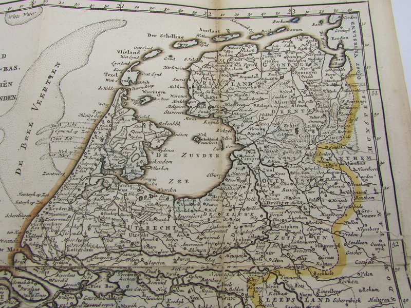
 Kaart van het gebied in het noorden van Nederland getroffen door de overstromingen in 1825.
Book ID: 2185More details Price: £120.00
Kaart van het gebied in het noorden van Nederland getroffen door de overstromingen in 1825.
Book ID: 2185More details Price: £120.00 -
 Kent
Kent
London: J. Cary, 1793. An engraved map of Kent, hand coloured in outline. The detail from Cary's atlas for Kent is visible and legible to the verso. Framed in a simple pale green mounting board. Protected by acid free plastic. John Cary worked from London as a mapmaker, engraver and publisher, towards the last quarter of the 18th century up to around 1830. His "New and Correct English Atlas", first published around 1776, was a benchmark in British topography. He used Copper plates for all his work, despite steel engraving becoming more common at this stage.
Condition: Very nice clean condition. There is fractional foxing to the edge of the written page (verso) the map itself is clean and tidy with the merest hint of darkening. A couple of tiny marks not affecting detail.
Book ID: 1279More details Price: £10.00 -
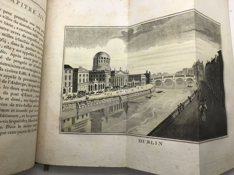
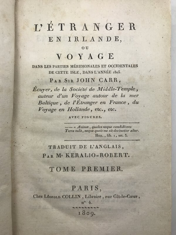
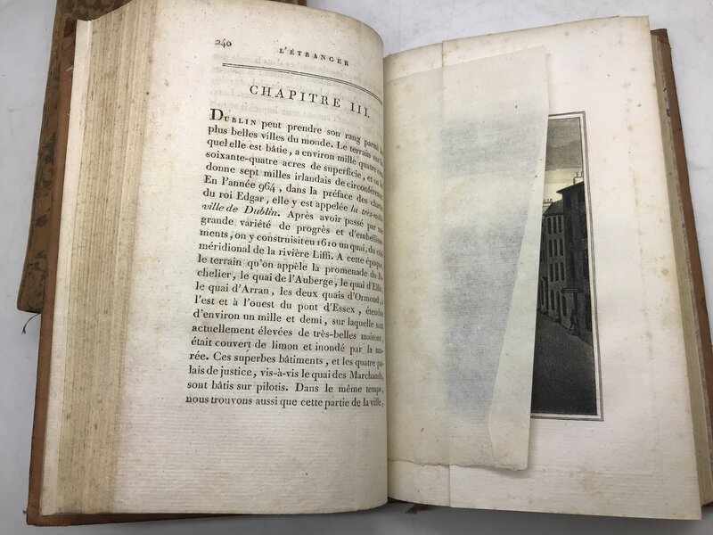
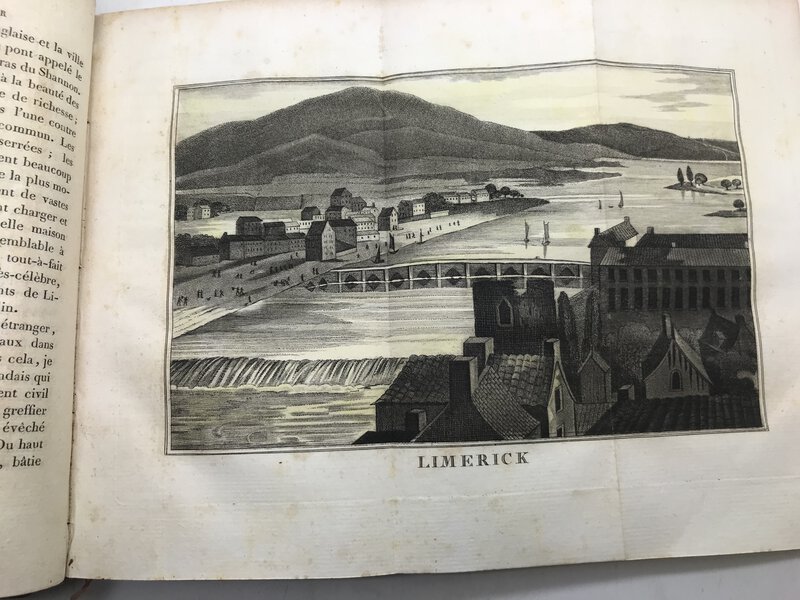
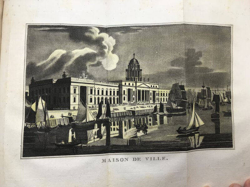
 L'Étranger en Irlande, ou voyage dans les parties méridionales et occidentales de cette isle, dans l'année 1805.
Book ID: 3304More details Price: £800.00
L'Étranger en Irlande, ou voyage dans les parties méridionales et occidentales de cette isle, dans l'année 1805.
Book ID: 3304More details Price: £800.00 -
 La Flandre et l'Artois. Recueil de documents sur l'architecture civile. Epoque médiévale XVIe et XVIIIe siècle. Avec une introduction et des notices.
Book ID: 4119More details Price: £120.00
La Flandre et l'Artois. Recueil de documents sur l'architecture civile. Epoque médiévale XVIe et XVIIIe siècle. Avec une introduction et des notices.
Book ID: 4119More details Price: £120.00 -
 La Géographie Françoise contenant les Descriptions, les Cartes, et le Blason des Provinces de France.
Paris: Chez l'auteur, 1677. Scarce. Original full leather binding. Gilt decorations and title to spine. Marbled endpapers. Beautifully illustrated with a double-page engraved title and hand numbered double page table of contents. Contains 34 double-page engraved maps, mounted on tabs. Uncoloured. Boards are a little rubbed at edges, contents in very good condition. 165 x 110 mm (6½ x 4¼ inches).
. Rare. Reliure d'origine plein cuir. Décors dorés et titre au dos. Gardes marbrées. Magnifiquement illustré avec un titre gravé en double page et une table des matières en double page numérotée à la main. Contient 34 cartes gravées en double page, montées sur onglets. Incolore. Plats un peu frottés sur les bords, contenu en très bon état. 165 × 110 mm.
Book ID: 3856More details Price: £850.00 -
 La Suisse Illustrée.
Description et histoire de ses vingt-deux cantons. Ornée de jolies vues gravées sur acier, de costumes coloriés et d'une carte de la Suisse.
Book ID: 1848More details Price: £320.00
La Suisse Illustrée.
Description et histoire de ses vingt-deux cantons. Ornée de jolies vues gravées sur acier, de costumes coloriés et d'une carte de la Suisse.
Book ID: 1848More details Price: £320.00 -
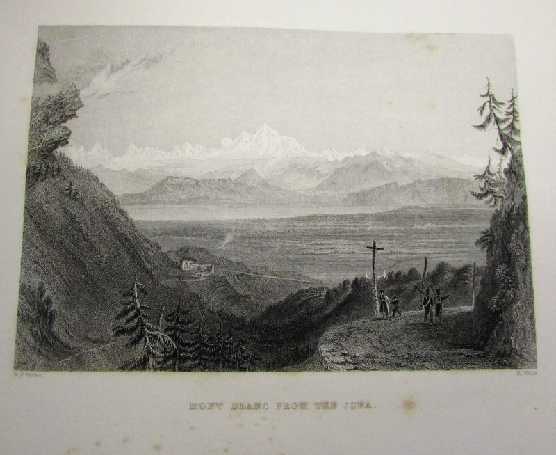
 La Suisse Pittoresque.
Ornée de vues dessinées spécialement pour cet ouvrage par W. H. Bartlett. esq.... Traduit de L'Anglais par L. De Bauclas.
Book ID: 1896More details Price: £400.00
La Suisse Pittoresque.
Ornée de vues dessinées spécialement pour cet ouvrage par W. H. Bartlett. esq.... Traduit de L'Anglais par L. De Bauclas.
Book ID: 1896More details Price: £400.00 -
 Le Charme de Venise. Illustrations en couleurs de Henri Cassiers
Book ID: 4254More details Price: £120.00
Le Charme de Venise. Illustrations en couleurs de Henri Cassiers
Book ID: 4254More details Price: £120.00 -
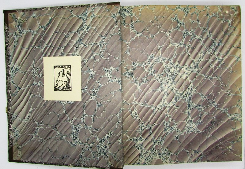
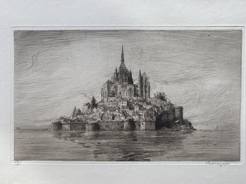
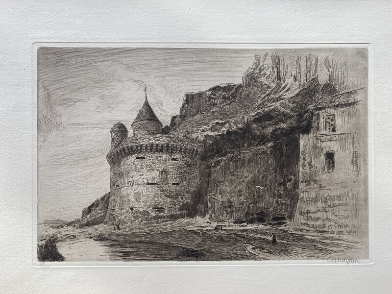
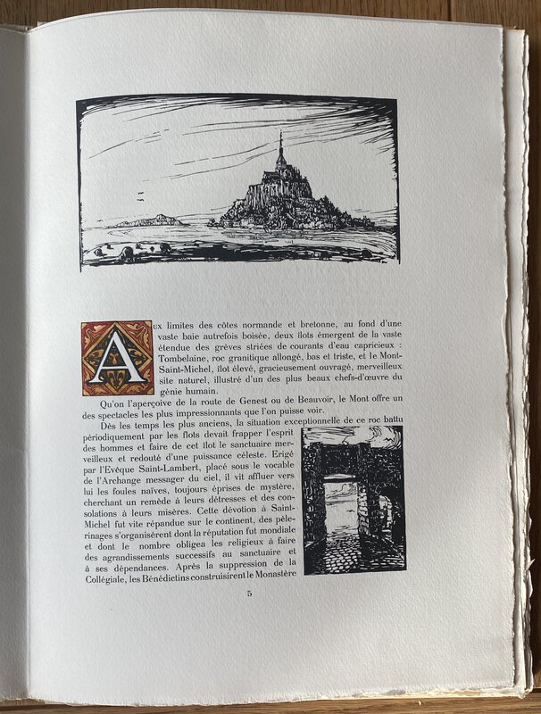
 Le Mont Saint-Michel et ses abords.
Dix eaux-fortes originales par Mayeur avec Introduction et bois originaux du même auteur
Book ID: 3164More details Price: £325.00
Le Mont Saint-Michel et ses abords.
Dix eaux-fortes originales par Mayeur avec Introduction et bois originaux du même auteur
Book ID: 3164More details Price: £325.00 -
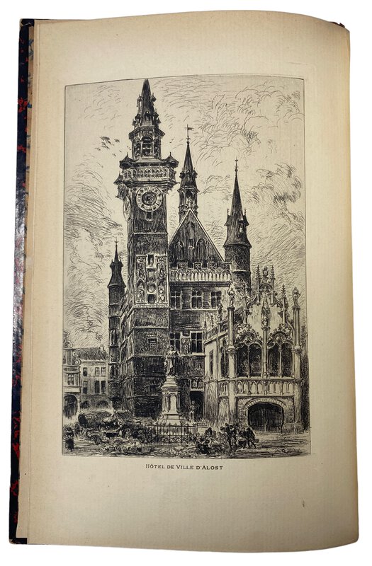
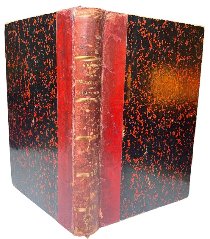
 Les vieilles villes de Flandres, Belgique et Flandre Française,
illustré par l'auteur de 155 compositions originales, dont 25 hors-texte et d'une eau-forte.
Book ID: 3741More details Price: £60.00
Les vieilles villes de Flandres, Belgique et Flandre Française,
illustré par l'auteur de 155 compositions originales, dont 25 hors-texte et d'une eau-forte.
Book ID: 3741More details Price: £60.00 -
 Nitidissimae civitatis mechlineensis, in meditvillio Brabantiae sitae, exactis delineatio.
Panoramic view of Mechelen
Nitidissimae civitatis mechlineensis, in meditvillio Brabantiae sitae, exactis delineatio.
Panoramic view of Mechelen
Köln: G. von Kempen, 1572. Attractive panoramic city view (copper engraving) of the city of Mechelen (Machelen) removed from "Civitates Orbis Terrarum" Volume One. Nice contemporary hand colouring. Image area is 11.7cm x 47.5cm. Sheet is 14cm x 55cm. Two sheets attached to verso. To the rear of one sheet is half a page of text. Slightly dusty but very presentable copy, with bright colouring. Shows the tower and other significant landmarks. Countryside around and figures standing to the foreground.
Book ID: 4120More details Price: £250.00 -
 Nitidissimae civitatis mechlineensis, in meditvillio Brabantiae sitae, exactis delineatio.
Large map of Mechelen
Nitidissimae civitatis mechlineensis, in meditvillio Brabantiae sitae, exactis delineatio.
Large map of Mechelen
Köln: G. von Kempen, 1572. Single sheet. Attractive overhead city view / map (copper engraving) of the city of Mechelen (Machelen) removed from "Civitates Orbis Terrarum" Volume One. With the Royal coat of arms and the arms of Mechelen, as well as a title cartouche. Nice contemporary hand colouring. Image area is 33.5cm x 46cm. Sheet is 40cm x 54cm. Two sheets attached to verso. To the rear of one sheet is a page of text (with a historiated initial) about Mechelen. This is somewhat darkened and foxed. Slightly dusty but very presentable copy, with bright colouring. Shows the tower and other significant landmarks. Countryside around and figures standing to the foreground.
Book ID: 4121More details Price: £275.00 -
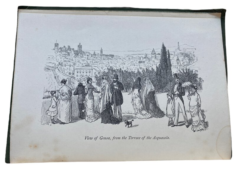
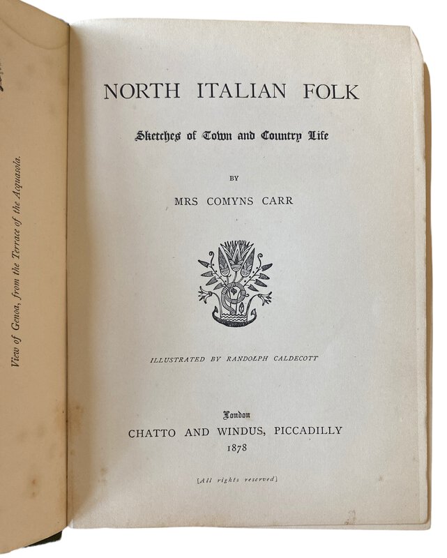
 North Italian Folk. Sketches of Town and Country Life.
London: Chatto and Windus, 1878. First Edition. Original green cloth with decoration blind stamped in black and gilt to the front board. gilt titles to the spine. A little rubbing and bumping to the boards. Owner's inscription to the front end paper. The rest of the book is in good condition, with a touch of darkening to the page edges only. xii, 282, [ii], 36 pages. Text in English. (Publisher's catalogue dated October 1877 to the rear of the book. 190 x145 mm (7½ x 5¾ inches).
Book ID: 3346More details Price: £30.00 -
![Nürnberg. by [ANON]](https://images.vialibri.net/production/20/3438-1---200.JPG?v=1657644154) Nürnberg.
10 Original Kupfertiefdrucke auf Büttenkarton
Nürnberg.
10 Original Kupfertiefdrucke auf Büttenkarton
Kassel: Bruno Hausmann, 1934. First Edition. Ten original intaglio prints on laid paper. Original cardboard softback landscape format, with cord binding. 180 x 240 mm (7 x 9½ inches).
Book ID: 3438More details Price: £30.00 -
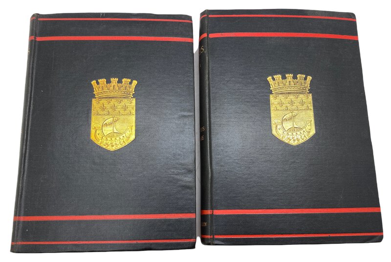
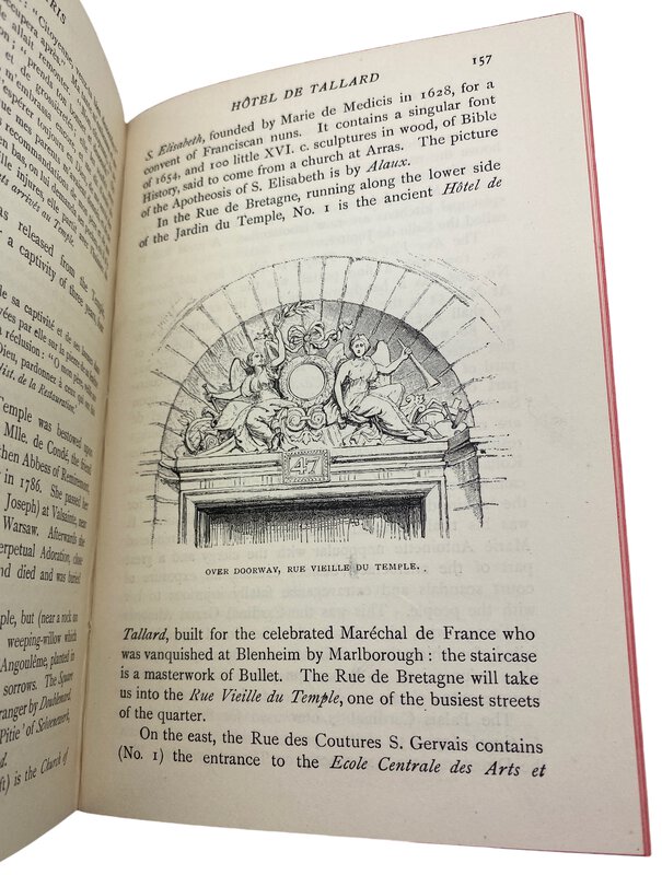
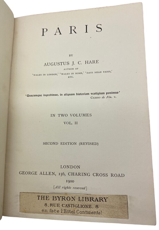
 Paris.
Book ID: 3207More details Price: £50.00
Paris.
Book ID: 3207More details Price: £50.00 -
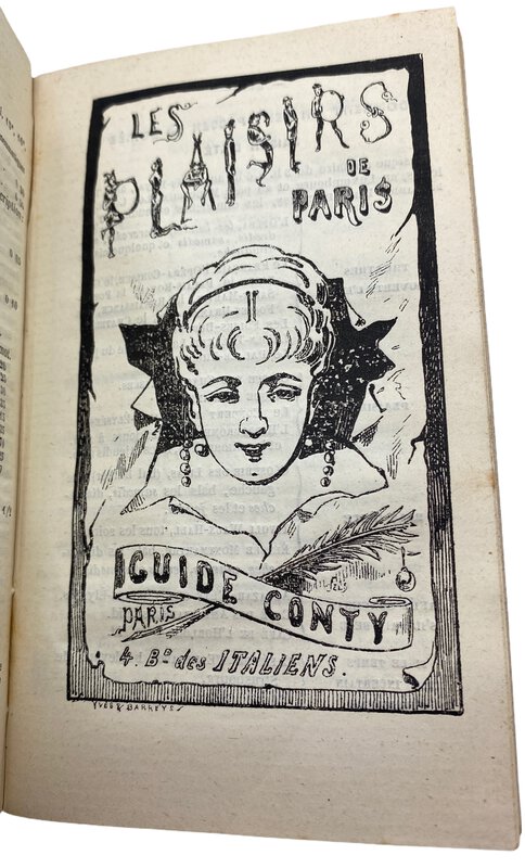
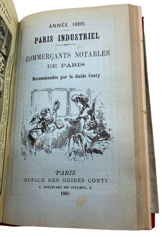
 Paris en Poche, Guide Pratique Conty.
Collection des guides Conty.
Book ID: 3202More details Price: £50.00
Paris en Poche, Guide Pratique Conty.
Collection des guides Conty.
Book ID: 3202More details Price: £50.00 -
![Photograph of the inside of the Mezquita de Córdoba by [ANON]](https://images.vialibri.net/production/20/3768-01---200.JPG?v=1674754848) Photograph of the inside of the Mezquita de Córdoba
Photograph of the inside of the Mezquita de Córdoba
Cordoba (Spain): NA, 1880. An attractive photograph of the pillars inside the Mezquita de Córdoba (The mosque). By an unknown photographer. Circa 1880-1890. Pasted onto a stiff grey mounting card, with calligraphic title beneath ("Del inre af Kathedralen i Cordova"). It bears the number 8 in the negative, so may be a tourist photograph. The photograph is in good condition with a couple of small nicks to the edges. The mounting card is in good clean condition. Dating from this period, it is difficult to distinguish between and albumen print and an early silver gelatin card mounted photograph. We lean towards the latter. Photograph size is 220mm x 280mm. The mount size is 345mm x 410mm.
Book ID: 3768More details Price: £80.00 -
![Photograph of the River & Bridge at Cordoba by [ANON]](https://images.vialibri.net/production/20/3744-01---200.jpg?v=1673876815) Photograph of the River & Bridge at Cordoba
Book ID: 3744More details Price: £80.00
Photograph of the River & Bridge at Cordoba
Book ID: 3744More details Price: £80.00


![Nürnberg. by [ANON]](https://images.vialibri.net/production/20/3438-1---800.JPG?v=1657644154)
![Another image of Nürnberg. by [ANON]](https://images.vialibri.net/production/20/3438-2---800.JPG?v=1657644155)
![Another image of Nürnberg. by [ANON]](https://images.vialibri.net/production/20/3438-3---800.JPG?v=1657644166)
![Another image of Nürnberg. by [ANON]](https://images.vialibri.net/production/20/3438-4---800.JPG?v=1657644150)
![Another image of Nürnberg. by [ANON]](https://images.vialibri.net/production/20/3438-5---800.JPG?v=1657644166)
![Another image of Nürnberg. by [ANON]](https://images.vialibri.net/production/20/3438-6---800.JPG?v=1657644160)


![Photograph of the inside of the Mezquita de Córdoba by [ANON]](https://images.vialibri.net/production/20/3768-01---800.JPG?v=1674754848)
![Another image of Photograph of the inside of the Mezquita de Córdoba by [ANON]](https://images.vialibri.net/production/20/3768-02---800.jpg?v=1674754834)
![Another image of Photograph of the inside of the Mezquita de Córdoba by [ANON]](https://images.vialibri.net/production/20/3768-03---800.jpg?v=1674754835)
![Another image of Photograph of the inside of the Mezquita de Córdoba by [ANON]](https://images.vialibri.net/production/20/3768-04---800.JPG?v=1674754836)
![Photograph of the River & Bridge at Cordoba by [ANON]](https://images.vialibri.net/production/20/3744-01---800.jpg?v=1673876815)
![Another image of Photograph of the River & Bridge at Cordoba by [ANON]](https://images.vialibri.net/production/20/3744-02---800.JPG?v=1673876819)
![Another image of Photograph of the River & Bridge at Cordoba by [ANON]](https://images.vialibri.net/production/20/3744-03---800.JPG?v=1673876831)
![Another image of Photograph of the River & Bridge at Cordoba by [ANON]](https://images.vialibri.net/production/20/3744-04---800.JPG?v=1673876823)