


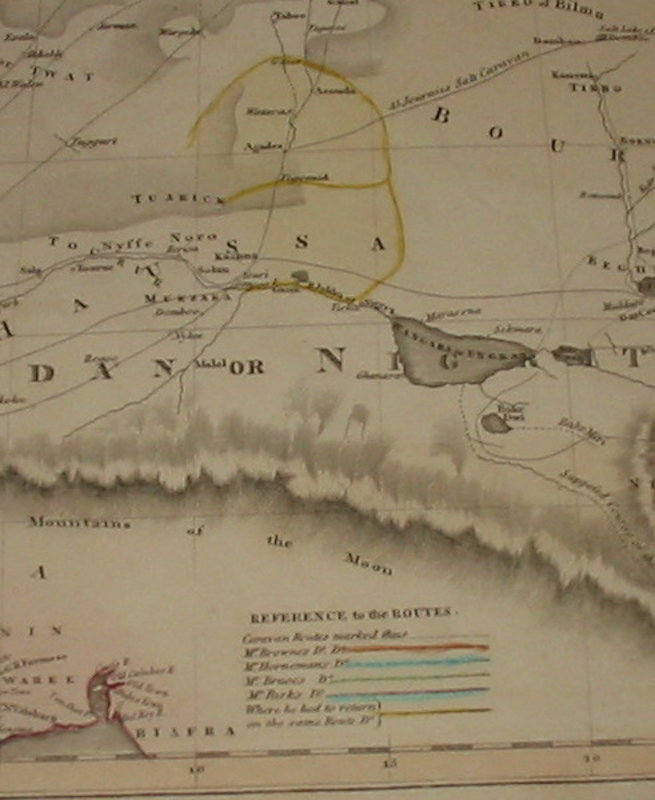
New General Atlas Map of North Africa showing the Routes of Explorers
Edinburgh: 1821. A hand coloured map, taken from Thomson's "New General Atlas". This shows North Africa (including the whole of the Sahara and West Africa). As well as the hand coloured detail, the map shows the routes of Mr Browne, Mr Horneman, Mr Bruce and Mr Parks. Originally this map was paired in a double page, folio atlas with a similar map for South Africa (not present). 280 x 515 mm (11 x 20¼ inches).
Condition: This map is in lovely condition. Clean and tidy with a little edgewear / nicking to the edges only (not affecting detail). The colour is clean and bright.
Book ID: 1533
Print this page
Price:
£30.00