


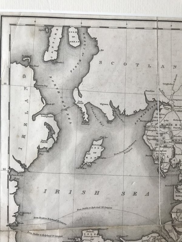


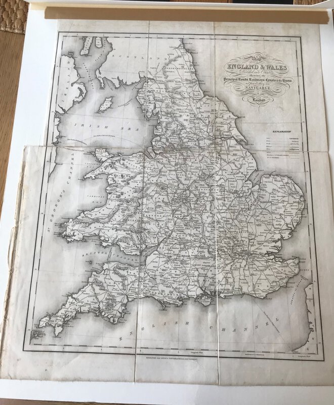
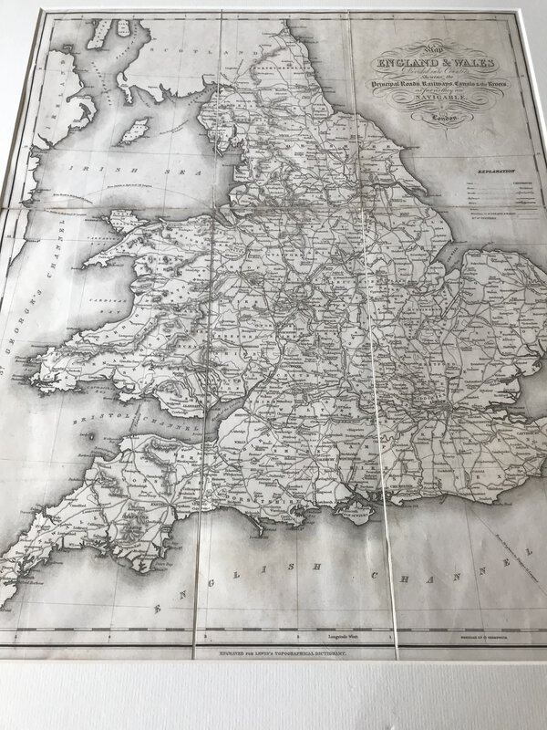
Map of England & Wales Divided into Counties Shewing the Principal Roads, Railways, Canals & the Rivers as far as they are Navigable
London: S. Lewis and Co, 1848. Large folding map, now tipped on to card and behind cream passe-partout. From Lewis's "Atlas to the Topographical Dictionaries of England and Wales". In very good condition. Perfect for framing. 480 x 390 mm (19 x 15¼ inches).
Book ID: 3003
Print this page
Price:
£40.00